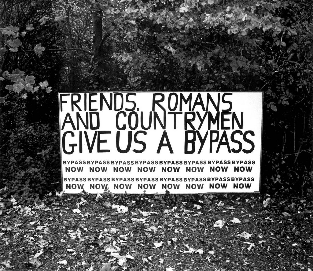
THE A27 LANCING / WORTHING BYPASS PROJECT
THE END
THE END
posted by Chris D'Santos at 6:10 PM
0 comments
![]()
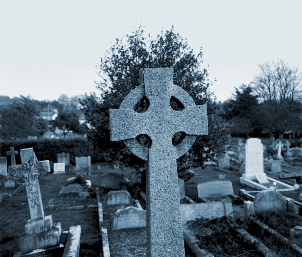
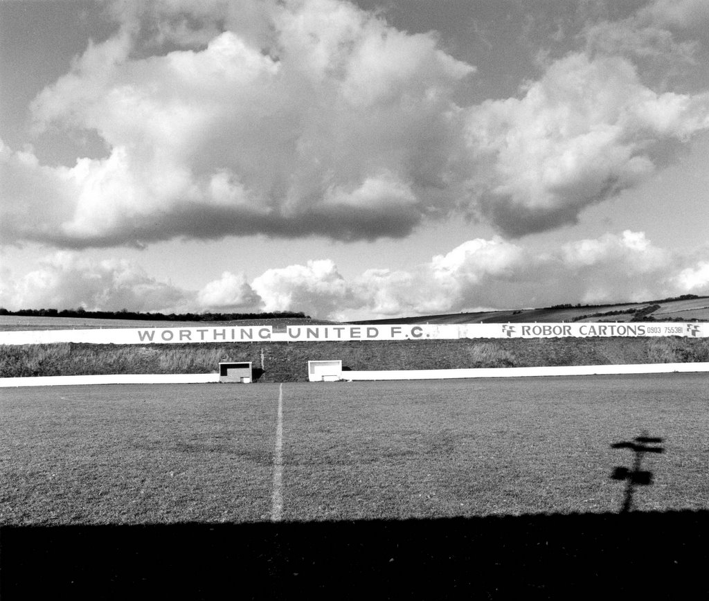
Our revels now are ended. These our actors, As I foretold you, were all spirits, and Are melted into air, into thin air: And, like the baseless fabric of this vision, The cloud-capp’d towers, the gorgeous palaces, The solemn temples, the great globe itself, Yea, all which it inherit, shall dissolve, And, like this insubstantial pageant faded, Leave not a rack behind. We are such stuff As dreams are made on; and our little life Is rounded with a sleep. The Tempest. Act iv. Sc. 1.
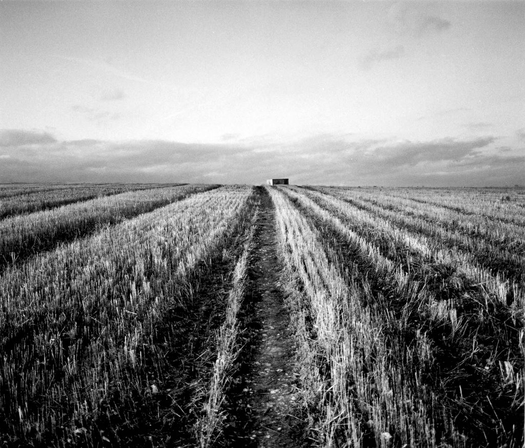
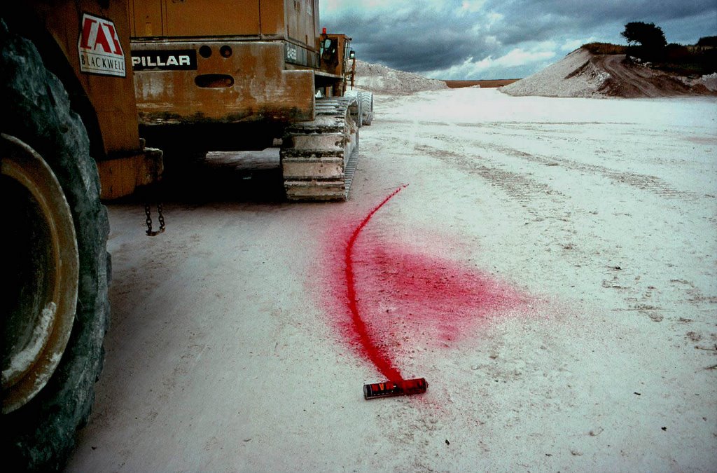
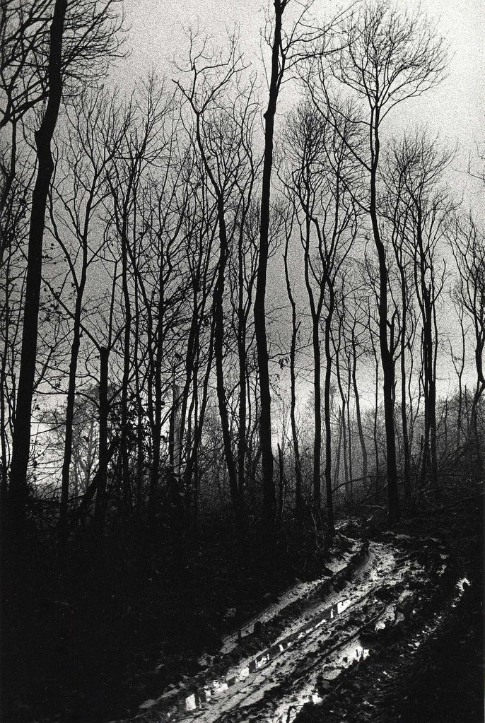
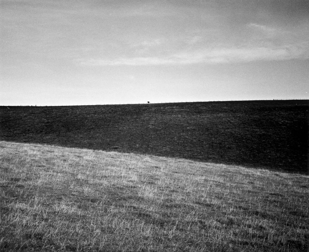
 In the end the road came to nothing.
posted by Chris D'Santos at 6:00 PM
0 comments
![]()
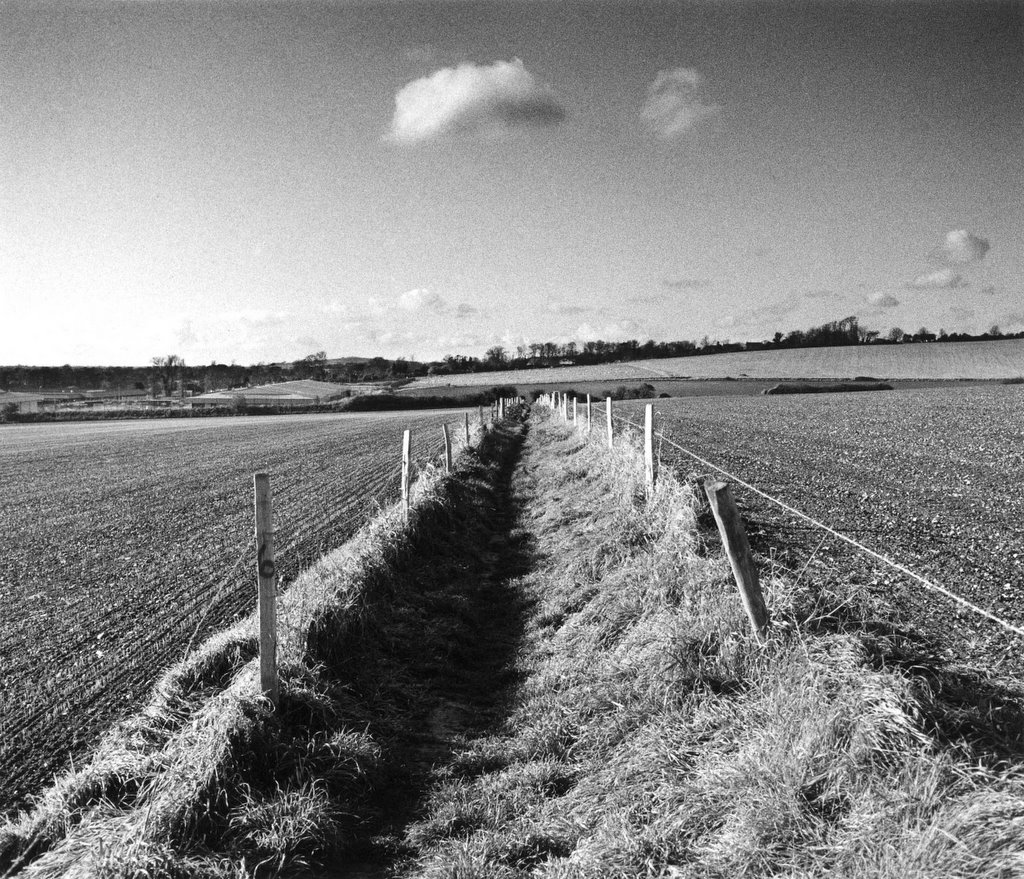
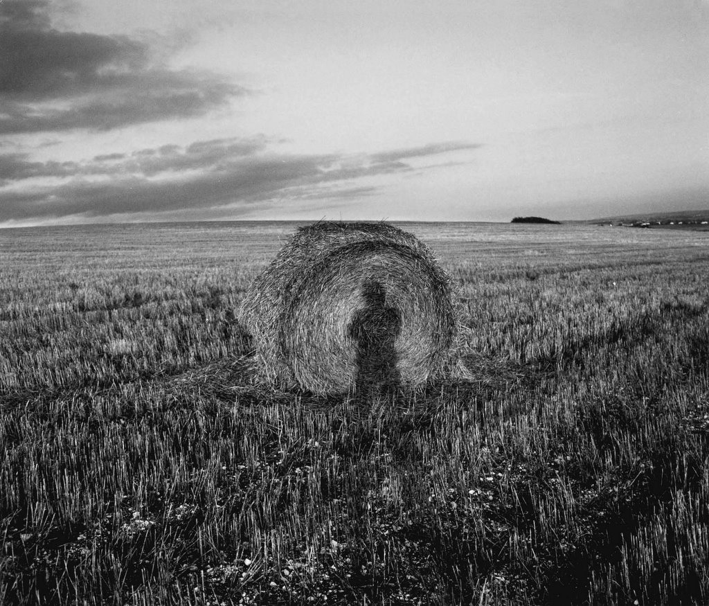
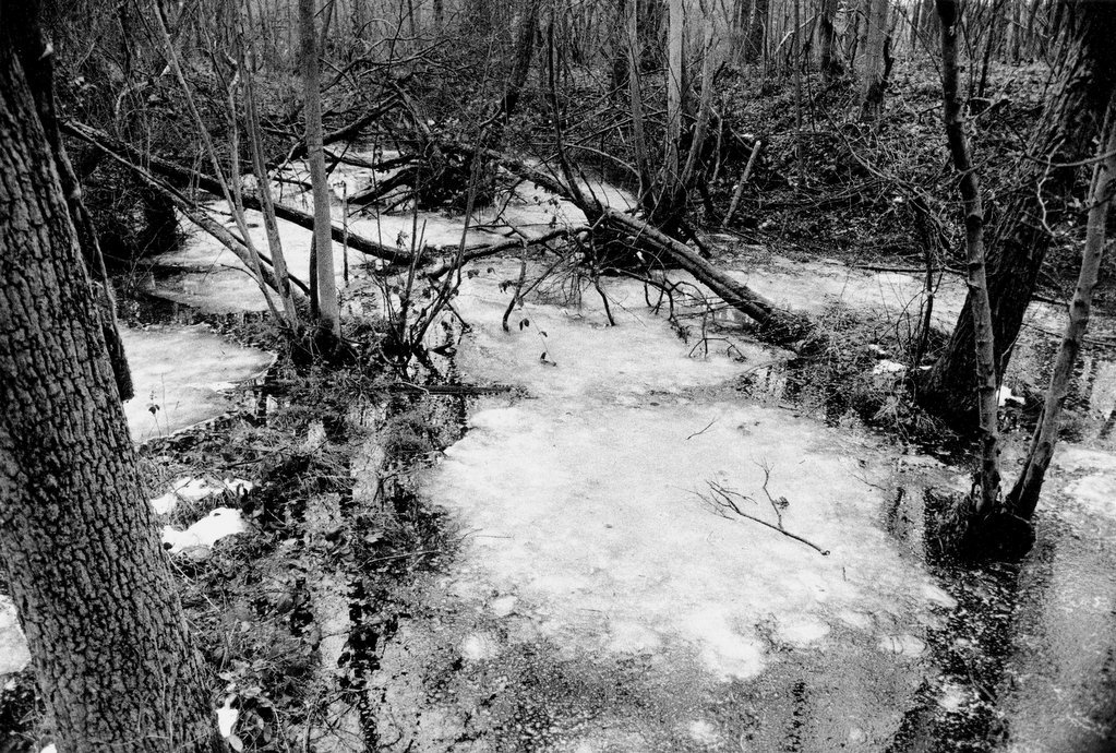
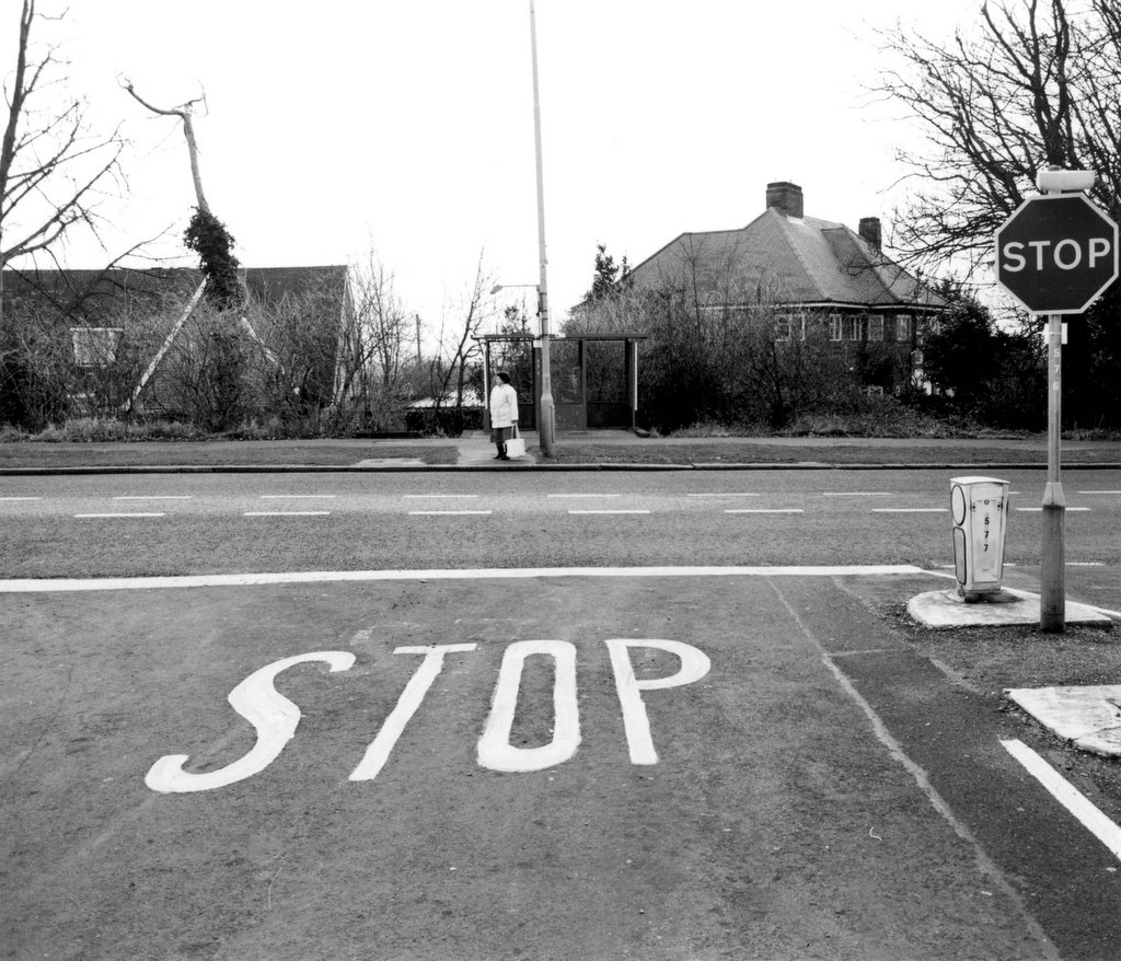
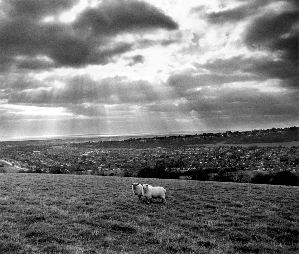
 I thought this shot was an apt metaphor with
posted by Chris D'Santos at 4:30 PM
0 comments
![]()
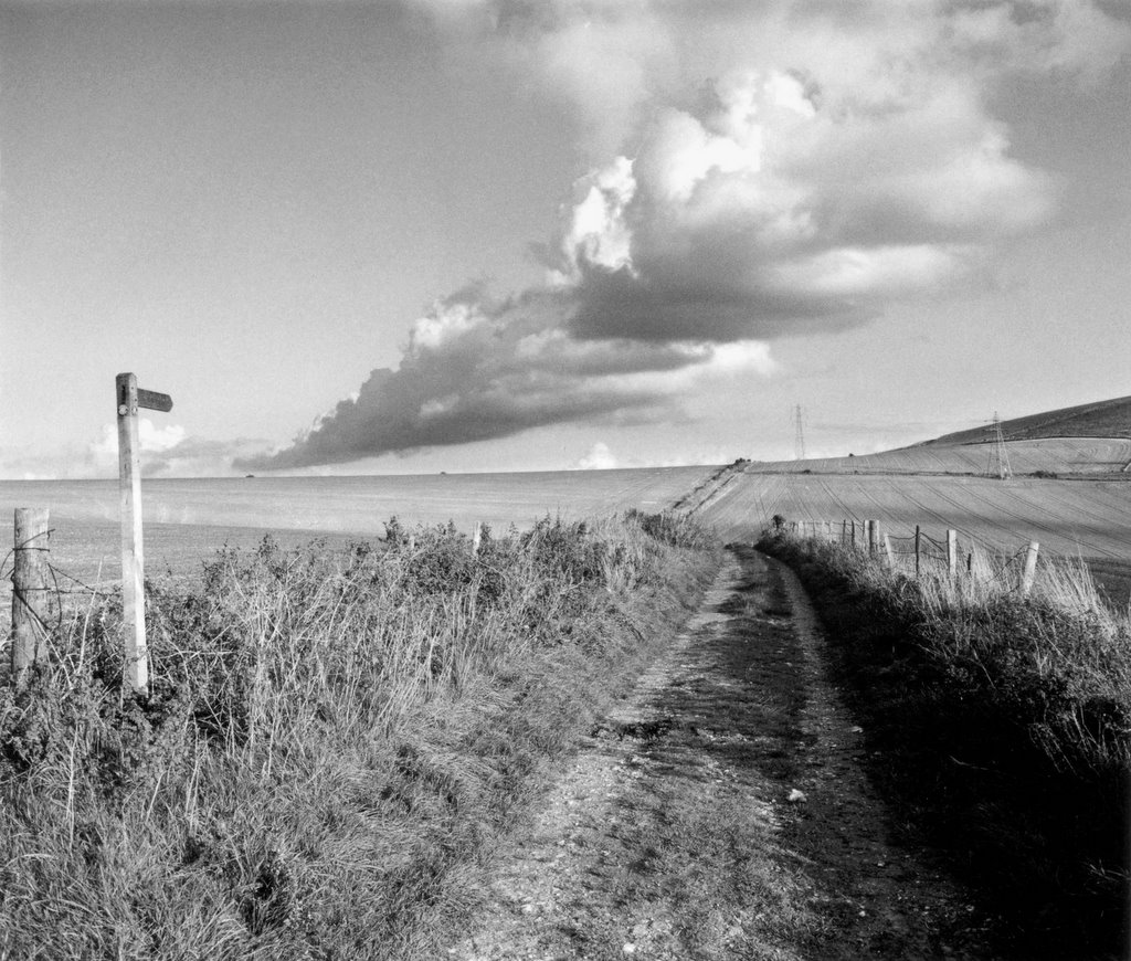
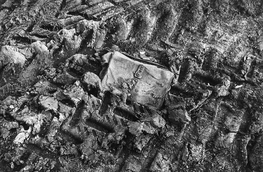
 An alternative to tunnels and bridges fording the shallow
posted by Chris D'Santos at 4:15 PM
0 comments
![]()
 A bridge and two tunnels, one on either side, would
posted by Chris D'Santos at 3:45 PM
0 comments
![]()
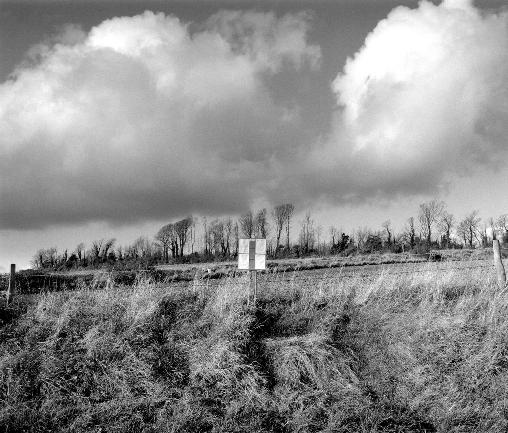
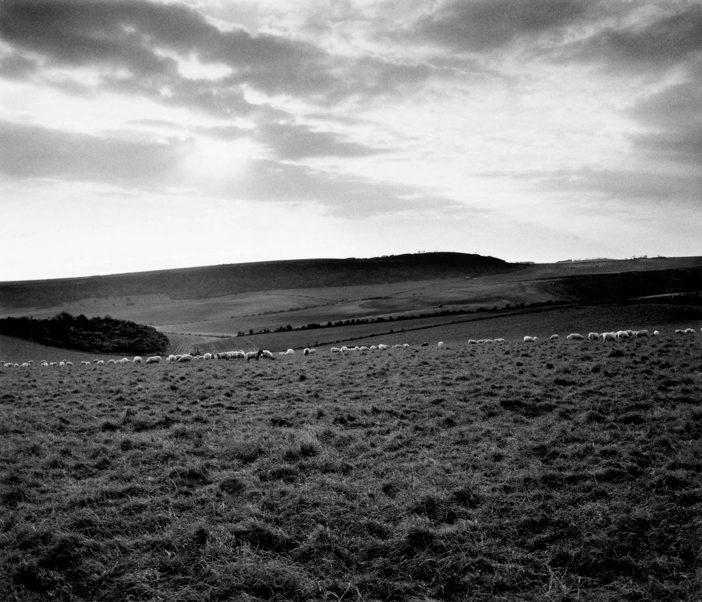
 A tiny patch of tree tops are visible on
posted by Chris D'Santos at 3:35 PM
0 comments
![]()
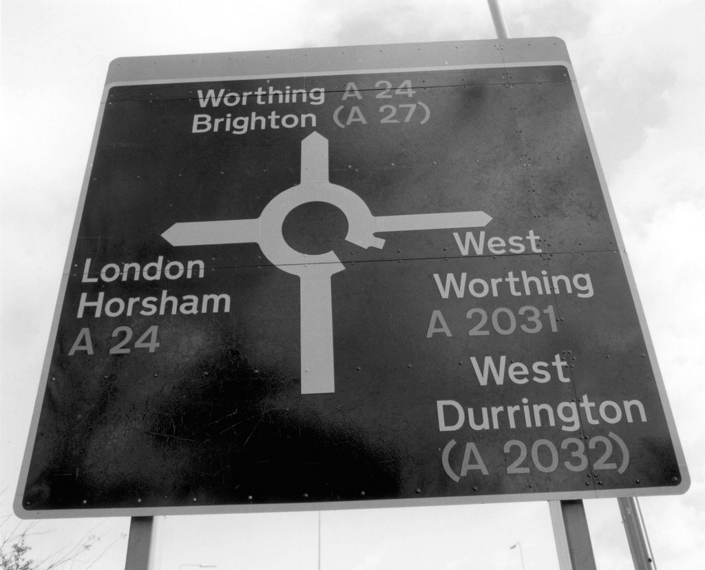
 More official notifications.......
posted by Chris D'Santos at 3:20 PM
0 comments
![]()
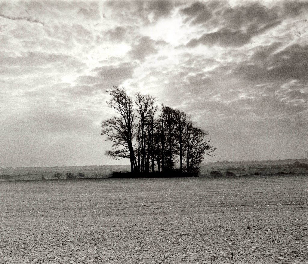
 The progress of the road passes behind the ground...
posted by Chris D'Santos at 2:54 PM
0 comments
![]()
 And on............
posted by Chris D'Santos at 2:53 PM
1 comments
![]()
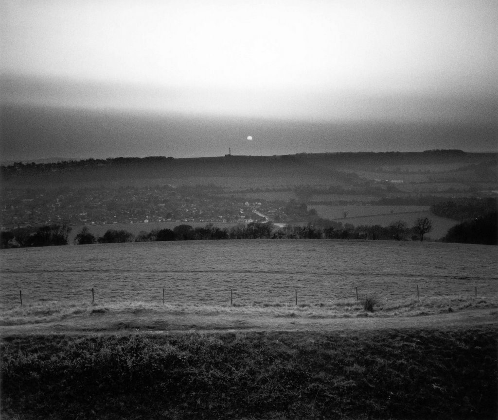
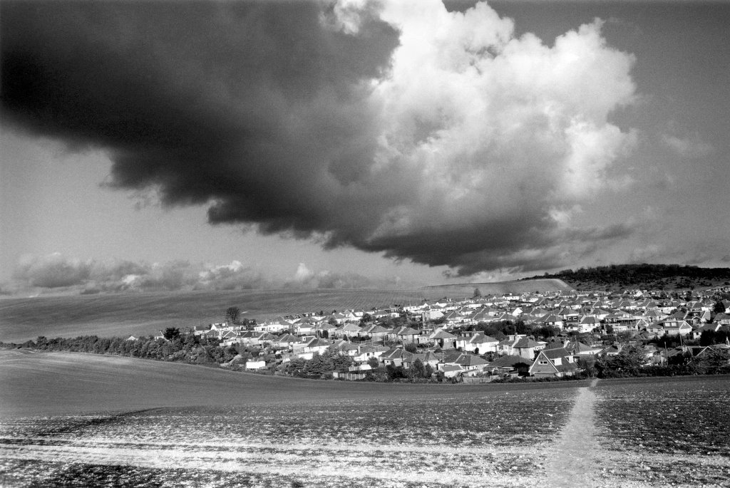
 And on we go across vale and dell towards Cissbury
posted by Chris D'Santos at 2:52 PM
0 comments
![]()
 Official Highways notification of proposal to build
posted by Chris D'Santos at 2:51 PM
0 comments
![]()
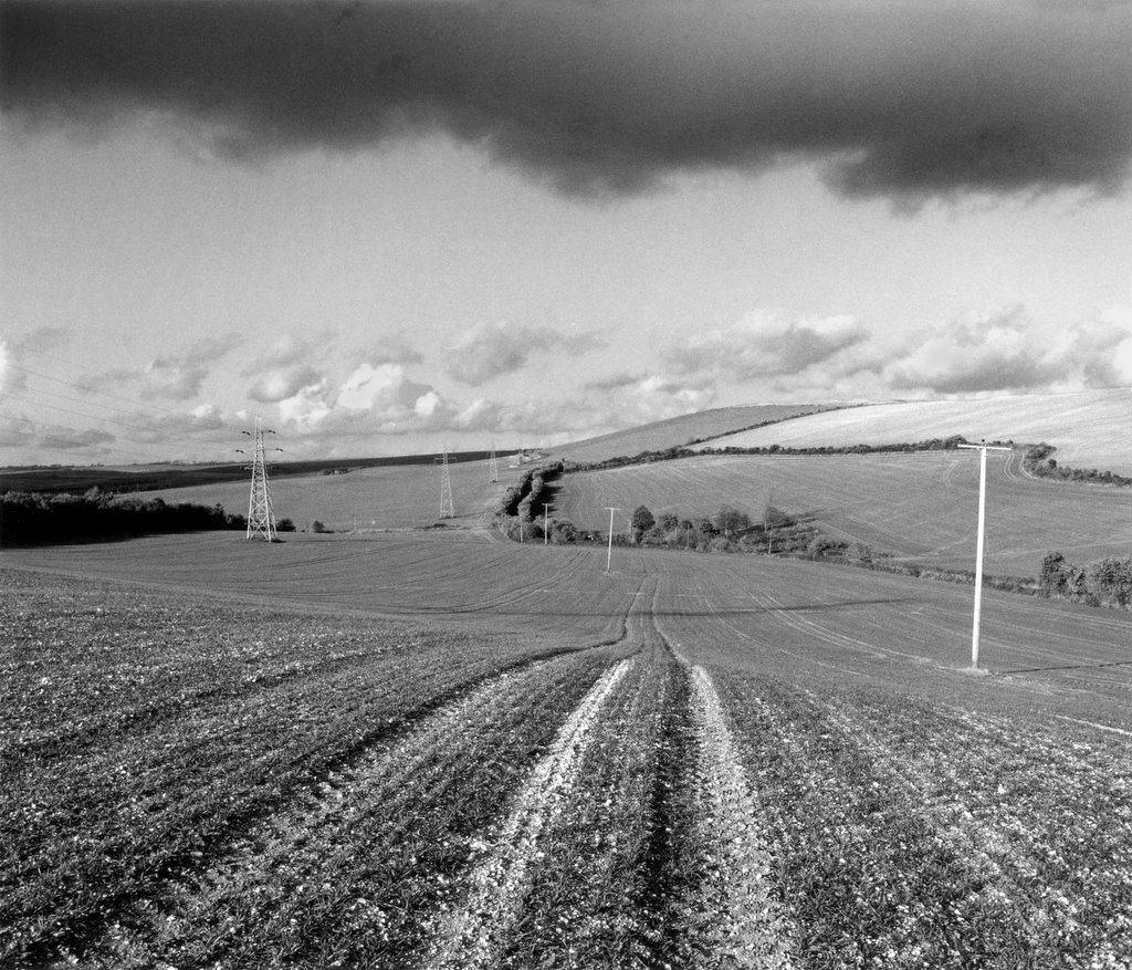
 A long view of the proposed route from Lancing
posted by Chris D'Santos at 2:50 PM
1 comments
![]()
 The route would have passed from the tunnels
posted by Chris D'Santos at 2:35 PM
0 comments
![]()
 The two handlebars were a metaphor for the two
posted by Chris D'Santos at 2:30 PM
0 comments
![]()
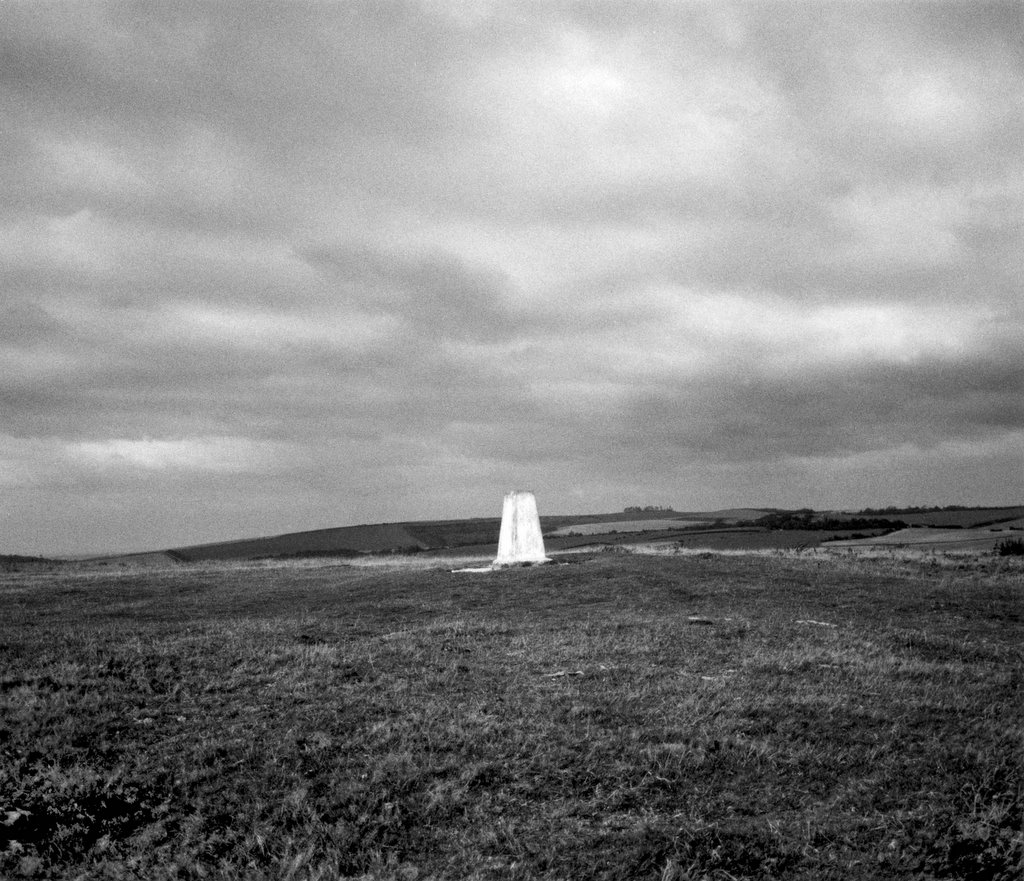
 For those with a disposition to co-ordinates the
posted by Chris D'Santos at 2:05 PM
0 comments
![]()
posted by Chris D'Santos at 2:00 PM
1 comments
![]()
posted by Chris D'Santos at 1:55 PM
0 comments
![]()
posted by Chris D'Santos at 1:50 PM
0 comments
![]()
 Nature taking its course......................................
posted by Chris D'Santos at 5:04 PM
1 comments
![]()
 I took this image in the mid eighties. I felt that
posted by Chris D'Santos at 4:10 PM
0 comments
![]()
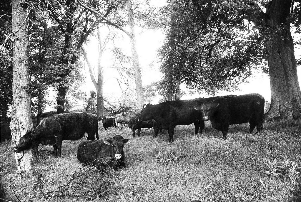 These cows were sheltering from April showers.
posted by Chris D'Santos at 4:00 PM
2 comments
![]()
posted by Chris D'Santos at 10:28 AM
1 comments
![]()


